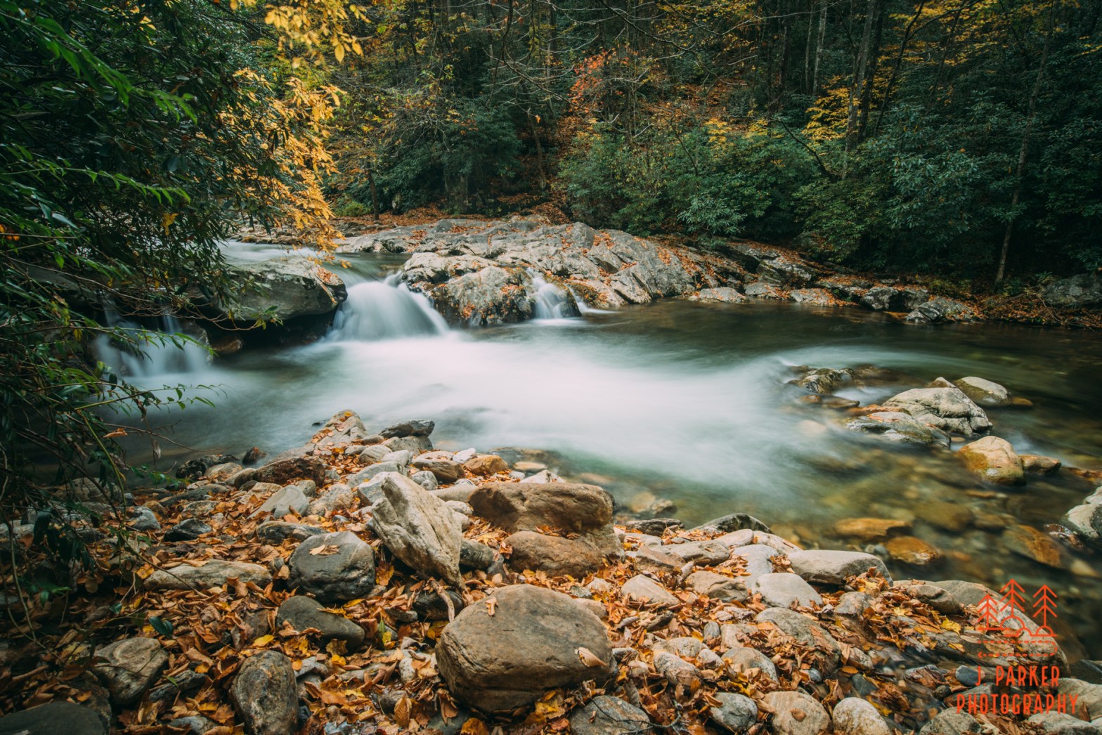
I couldn’t feel my legs. That might have been a little more disconcerting than it was, for at least it had a rational explanation. I had been standing in near-freezing water for nearly a minute (I have it on good authority that I could tell it wasn’t freezing because it wouldn’t have been water anymore). I was standing, barefoot, in the Big East Fork, a river that drains an area flowing from the Black Balsam/Graveyard Fields area of the Pisgah National Forest. It wasn’t for no reason that I was doing this. I didn’t recreationally try to catch hypothermia. It was the only way I had found to get a good picture.
Tag Archives: Brevard
2020/07/04 Jumping John Rock is a Gas, Gas, Gas
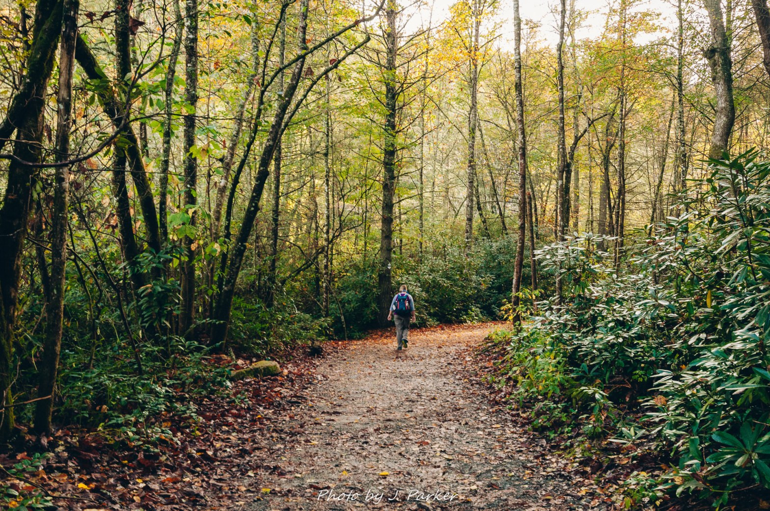
I wasn’t sure I could go. I was pacing, or at least the best approximation I could do, back and forth in our hotel room, testing out the injured foot that would need to have far more than the 20 hours I’d give it to recover from the nasty turn I had given it on the Flat Laurel Creek Trail. It really wasn’t good. My foot had swollen so much through the gaps in the compression sleeve that I was wearing that the edges nearly cut my skin. I wasn’t sure I could walk down to the car, and was half hoping Jess would push me a luggage cart. I could barely make it from bed to bathroom, and yet in less than an hour I was hoping to tackle a 7 mile, 1100 foot elevation gain hike.
In normal times I might have heard the fat lady sing. But these were covid times, and the fat lady’s performance was canceled as it was against CDC regulations.
2017/10/17 – Touching the Sky at Tennent Mountain
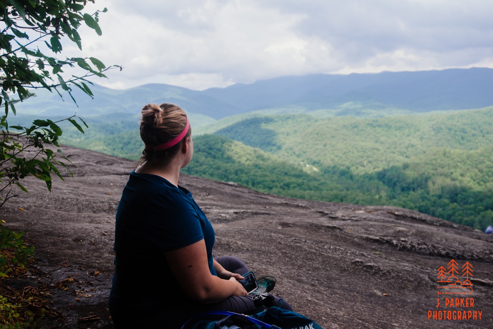
I felt like I was walking on air. I knew I wasn’t – in fact I was hiking on the narrow ridge of Tennent Mountain. There was but a narrow path that navigated the small bit of the ridge that remained level enough at the top to walk. In many areas the terrain sloped quickly and someone steeply on either side, but still mild enough to provide just the right level of unobstructed views and excitement without the feeling of danger. one could see the distinctive ball of Looking Glass Rock, though very small and far, far below (some 1,500-2000 feet lower in elevation gain). We had hiked that rock yesterday, and it was hard to imagine one could find a location so dramatically higher, but there we were, looking down on the rock which had struck fear into us at the end, where the dramatic slope of the rock gave us little comfortable place to enjoy the views we had hiked over 3 miles to obtain.
2017/10/16 – Letdown at Looking Glass and Moore Cove Falls
Looking Glass easily provides the most striking and distinctive peak in the area. It’s shape can be easily identified from the rest even at a great distance. Every view which includes it is better because of it. You get no benefit from that when you’re on the actual rock. One thing is conspicuously absent from the view from Looking Glass; the rock itself.
2017/10/16 – Three Falls at Dupont State Forest
In my haste I allowed the filter to slip out of my fingers in the wet conditions, striking the rock with a force no filter was designed to sustained. One look at it confirmed its days of usefulness were at at end, and in a moment of anger and frustration I chucked it as far as I could see. Jess saw what I had done and raced over to scold me, and she was right. I had littered the forest, though that wasn’t my intention and the consequences of what I had done didn’t even pop into my head at the time. But as I said before, I was angry. (There’s a popular saying that it’s impossible to hike in the woods and be angry. That person clearly never hiked with a photographer).
